
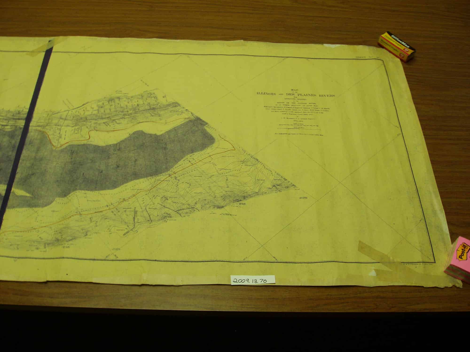
Map of the Illinois and Des Plaines Rivers from Lockport, Illinois to the mouth of the Illinois River. In 58 sheets including an index map. This map is sheet NO. 39. Made under the direction of a Board of Engineers consisting of Colonel O. H. Ernst, Lieut. Colonel Chas J. Allen (retired Jan. 8, 1904), Major Thos L. Casey and Major James L. Lusk (appointed April 26, 1904) all of the Corps of Engineers, United States of America, by J. W. Woermann, U.S. Assistant Engineer, 1902-1904. Drawn by F. C. Woermann and W. Arthur Latter. The map is 208cm long and 77cm tall. It looks like a blue printed copy from the orginal 1904 map. We are not sure when the copy was made by the Tri-County Riverfront Action Forum.
