
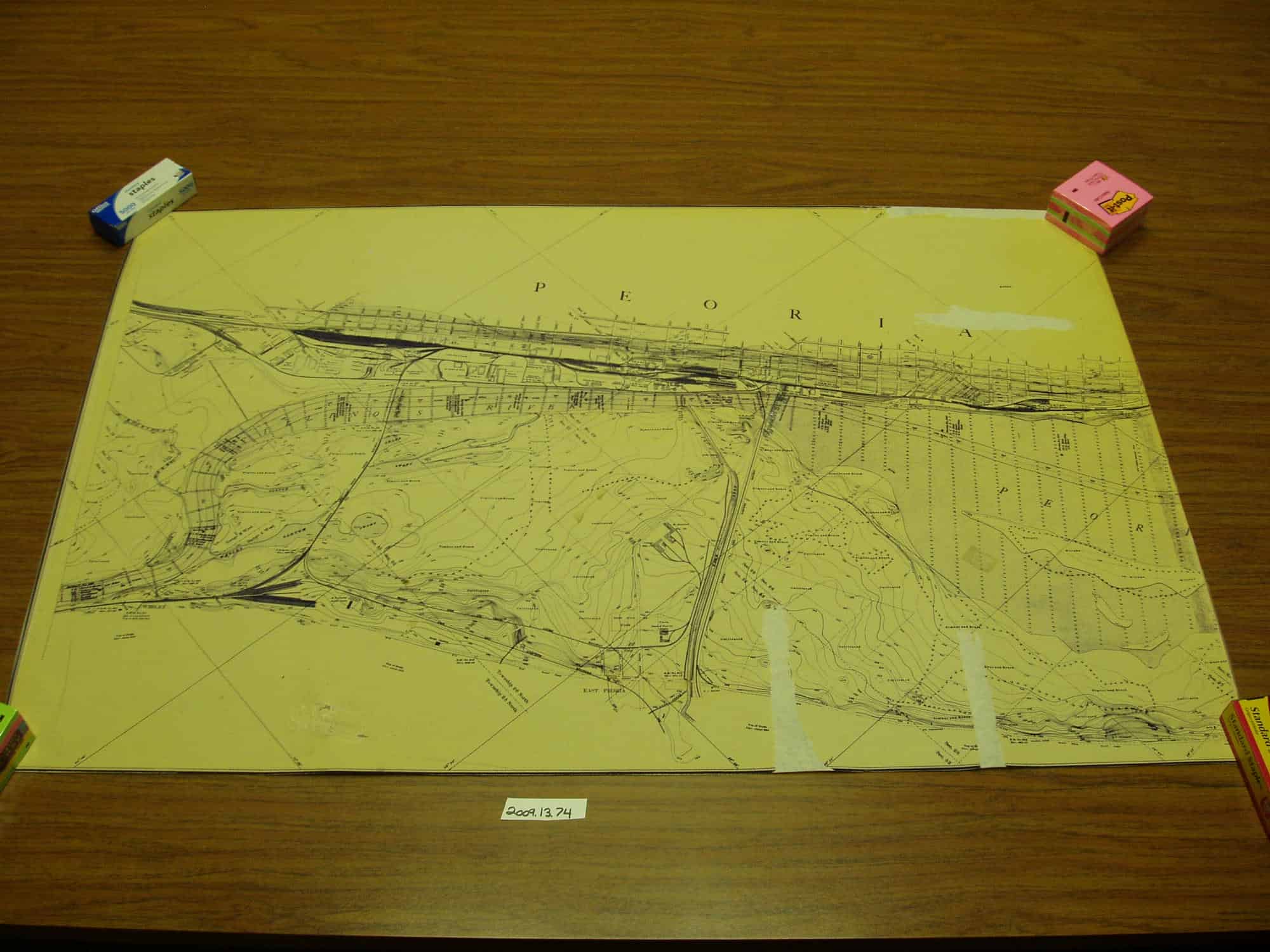
Map of the Illinois and Des Plaines Rivers from Lockport, Illinois to the mouth of the Illinois River. In 58 sheets including an index map. Made under the direction of a Board of Engineers consisting of Colonel O. H. Ernst, Lieut. Colonel Chas J. Allen (retired Jan. 8, 1904), Major Thos L. Casey and Major James L. Lusk (appointed April 26, 1904) all of the Corps of Engineers, United States of America, by J. W. Woermann, U.S. Assistant Engineer, 1902-1904. Drawn by F. C. Woermann and W. Arthur Latter. This particular map is a close up view of Lake Peoria. It does not say what sheet number it is, but it is part of the 58 sheets. The map is 102cm long and 66cm tall.
