
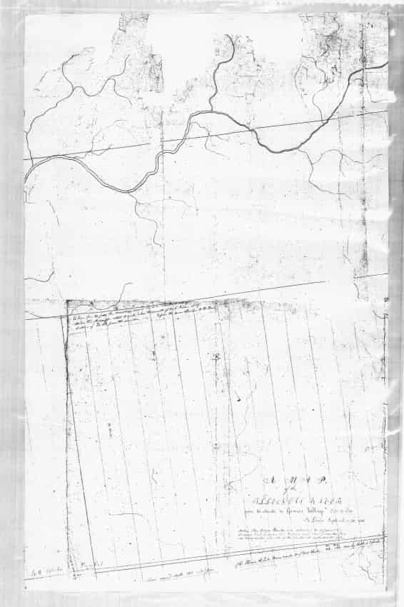
Map dated September 20, 1816 showing the Illinois River, Peoria, Peoria Lake and Chief Gomo’s village. Carl Carr of Chillicothe learned of the existence of this map and its location at one of the warehouses of the Smithsonian Institution. He visited the warehouse in Washington D.C. and asked them for a copy of the map. The map is copies in two sections and there are two copies.
